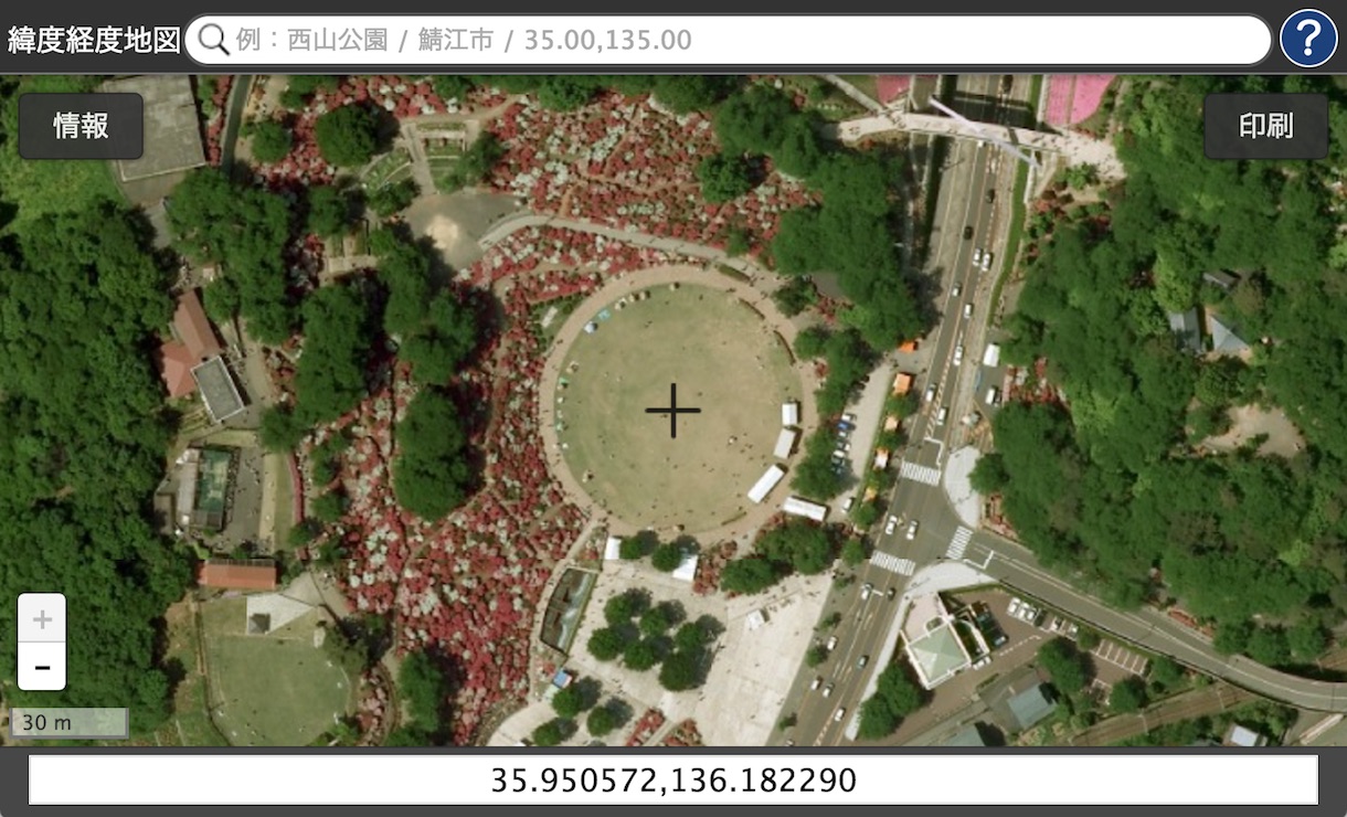
LatLngMap I created is one of methods to make that.
It's using "maps.gsi.go.jp (地理院地図)" map service published from Japan as opendata.

"LatLngMap" shows latitude and longitude simply
How beautiful Azelea (Tsutsuji) flowers at Nishiyama park in Sabae city are!
You can fork and hack with JavaScript you like from GitHub.
"Information Access Division, Geospatial Information Authority of Japan"
links
- OpenStreetMap (Japan)
- 東京大学空間情報科学研究センターの CSV アドレスマッチングサービス
- 地図による小地域分析(jSTATMAP)
- 国土交通省 GIS ホームページ 位置参照情報ダウンロードサービス
- 国土交通省データを使ったプログラムで使えるジオコーディング

